Recent disaster trends indicate that people are increasingly impacted by more frequent and severe disasters particularly in vulnerable communities around the world. Humanitarian actors agree we must continue to reduce risks and build resilience so that these communities are able to better weather crises and prepare for future disasters. However, these efforts have been repeatedly and significantly hampered by the fact that disaster risk reduction experts and responders lack maps with sufficient detail to allow them to protect those in danger and get help to those in need as quickly and efficiently as possible.
The Missing Maps project aims to literally and figuratively put more than 20 million vulnerable, at-risk people on the map using OpenStreetMap (OSM) as a platform. We need to fill in these “missing maps” before the next disaster strikes ensuring the maps have detail sufficient for emergency responders to hit the ground running.
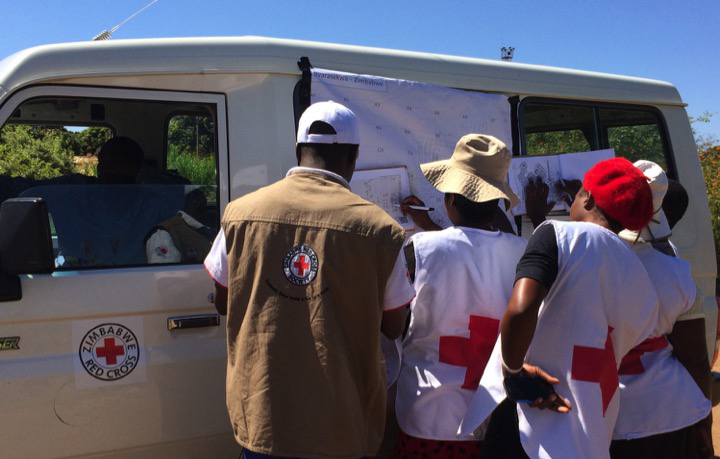
This case study is about work undertaken by the American Red Cross and the global Red Cross and Red Crescent network, in support of the larger Missing Maps partnership. Mapping was conducted in Zimbabwe, Bangladesh, Tanzania, and Rwanda. How do we put communities on the map? The primary purpose of this case study is to elucidate our community mapping practices and lessons learned for the benefit of other practitioners. It includes a short description on our preparation for community mapping, a brief summary of the project goals in each country, and major lessons learned.